


Tu colada limpia con un aroma intenso y duradero
Desde mi hermosa lavandería te damos la bienvenida!
Lavado de mantas y edredones por encargo
Cuál es el precio de lavar mis mantas y edredones? Con nosotros se pueden se pueden lavar los edredones y mantas de una forma rápida y...
VER AHORALavandería por Kilo
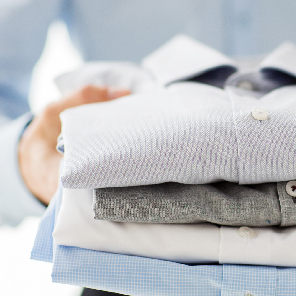
Incluye el lavado todo junto de una bolsa hasta 5 kg. Se entrega toda la ropa doblada y sin planchar.
VER AHORANuestas lavadoras autoservicio:
Tenemos lo mejor en maquinaria para lavandería autoservicio. Tecnología alemana nueva, silenciosa y eficaz.
Disponemos de varios tamaños para cubrir tus necesidades:
Tambien podrás elegir entre varios programas de lavado, que van desde el lavado en frío, hasta los 60º de temperatura, sin coste adicional.
Señalar que solo el lavado a 60º garantiza un lavado higiénico de tu ropa, eliminando bacterias, microbios, suciedades, etc… además de conseguir un mejor acabado en tejidos resistentes con manchas especiales. (En las otras lavanderías solo podrás lavar a 40º de máximo)
mi hermosa lavandería: facil uso de nuestras maquinas.
Las máquinas dosifican productos de limpieza industriales para que tu ropa quede limpia y suave con un aroma que permanecerá días. Así que no hace falta que traigas ni detergente, ni suavizante.
Después de cada lavado nuestras lavadoras se higieniza de forma automática para que la siguiente persona la encuentre en perfectas condiciones.
¿Que por qué tardan sólo 30 min en lavar, si una de casa tarda más de una hora?
Porque nuestras lavadoras, al ser profesionales, no tienen que calentar agua. Hay un sistema de agua caliente (como cuando te duchas) del que las lavadoras cogen el agua que necesitan para lavar.
También tienen un sistema más rápido de desaguar, que no va con bomba, (y no se atasca nunca). Además al ser mucho más grande la cuba que las de casa, consiguen mover más del doble de agua en una sola vuelta que un número equivalente de lavadoras convencionales.
Si le quitas el tiempo de calentar agua, el de desaguar, y varias vueltas innecesarias, salen esos poco más de 30 min que tu ropa necesita para quedar más limpia y suave que si la lavases en casa.
Recibe nuestras últimas noticias!
Suscríbete a nuestro boletín de noticias y mantente al día con las últimas novedades.
Delivering Clean Clothes and Peace of Mind

Delivering Clean Clothes and Peace of Mind